

Capture changes on the seafloor, at scale & speed.
Marine Research
Cathx provide the gold standard of subsea sensor technology for environmental scientists and oceanographic researchers that are interested in surveying large areas of the seafloor, at speed.
We offer an innovative way of collecting & processing high resolution imagery and laser data that can be acquired at speed, through the use of CATHX FDI® (Fast Digital Imaging) and our CLARITY software.
The New Standard in Subsea Surveys for Marine Research
To reliably observe and monitor changes in coral reef health over a 10-year period, colour, scale, image sharpness, lighting uniformity and consistency all images need to be standardised. This ensures variances due to contributing factors like different sensors, vehicles, operating, or environmental conditions are removed. Machine Learning algorithms cannot deliver a reliable solution until fundamental issues like these and underwater video and still imagery quality are resolved. While this may appear obvious in hindsight, Cathx Ocean learned this six years ago and we are now positioned to deliver the software solutions to address these challenges. From only this start point, can we look at what information industry needs, as we now have the necessary building blocks that will offer technology solutions at scale.
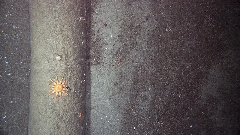
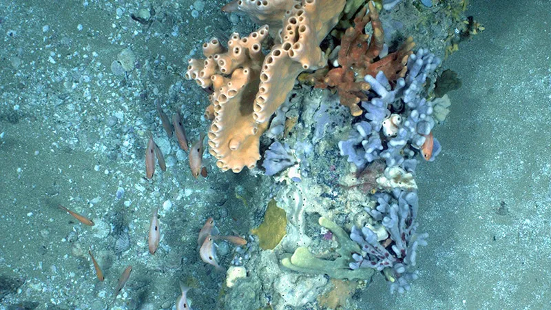
CATHX FDI® allows subsea researchers to identity species and monitor subsea habitats through the use of UHD images, unique 3D colour point clouds, colour, accurate measurement, scale and see the same scene from multiple perspectives.
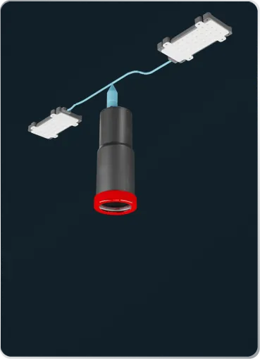
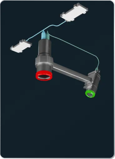
Our systems for environmental subsea survey start with a simple subsea imaging system ideal for towed frames and smaller vehicles up to larger full systems for larger AUV’s.
CATHX FDI® systems are depth rated up to 6,000m and all data is timestamped, spatially co-registered and geotagged allowing researchers to visually and verifiably track changes in a specific location over time. Combined with our 3D digitisation solutions, we offer researchers and scientists an unrivalled method to visualise, inspect and interact with subsea environmental data.
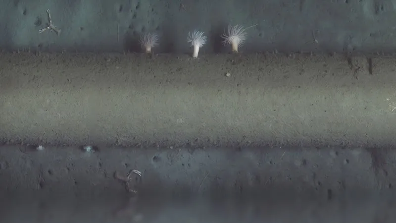
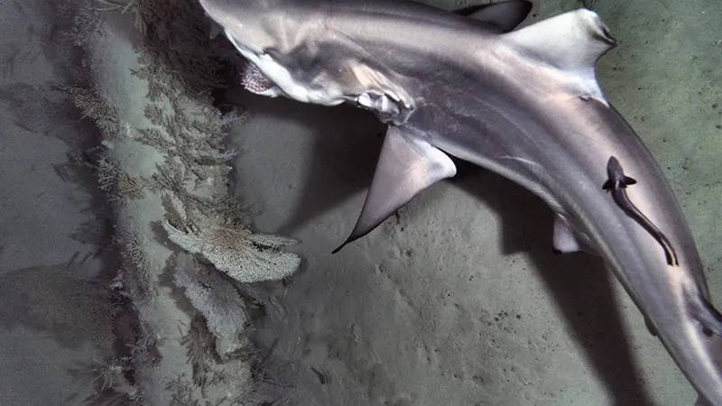
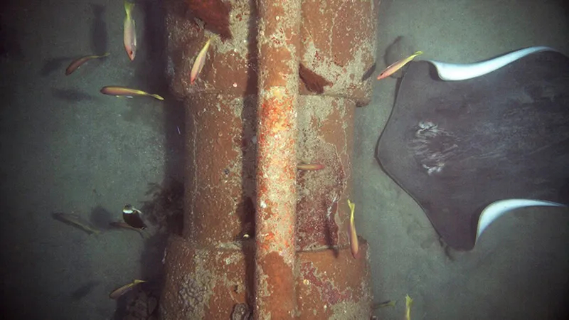
Types of Environmental Surveys
Environmental surveys are required for most subsea activities across all subsea sectors.
There are, in general, two main types of surveys:
Baseline Surveys
Suitable for:
- Habitat Mapping
- Species Identification and Classification
- Pre-Drilling for Oil & Gas and Offshore Wind
- Pre-Construction Surveys for Oil & Gas
- Pre-Installation Surveys for Offshore Wind
- Pre-Collector Surveys for Deep Sea Minerals
Year-on-Year Surveys
Suitable for:
- Continuous Assessment for Marine Habitats
- Post-Lay and As-Found Surveys
- Cable Surveys
- Post Collector Surveys for Deep Sea Minerals
- Impact Assessment
- Decommissioning for Oil & Gas
Benefits
Conduct High-Speed Large Area Based Seabed Surveys
CATHX FDI® captures large area images at high-speed increasing coverage per unit time by a factor of 10.
Species Identification from UHD Images
CATHX FDI® systems deliver ultra-sharp consistent high-quality large area colour images that are free from motion blur.
Gather Statistically Significant Counts of Marine Life
Enabling better science to achieve statistically significant counts in less time.
Track Year-On-Year Changes
Timestamped, geotagged and spatially co-registered datasets, deliver the ability to visually and verifiably track changes in a specific location over time.
3D Visualisation & Analysis
Unique 3D colour points clouds, generated from Cathx FDI image and laser data, allows scientists to navigate and view data in a 3D spatial environment instead of a 2D linear video.
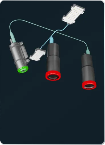
Cathx FDI® & Software Solutions for Environmental Surveys
Do You Want to Find Out More About Marine Environment Solutions?
Please get in touch so we can assist you with your next Marine Environment Project.